I already did what I want at the beginning. So I decided to open this topic. If you have any idea, feature request or something else, I want to listen it and implement it to workbench.
You can fallow our progress from bellow links:
Patreon: Hakan Seven on Patreon
Twitter: Hakan Seven on Twitter
Source Code: Trails on GitHub
For Help: Trails GitHub Discussions
Features:
* Import Survey Data Files
* Export Point Groups to File
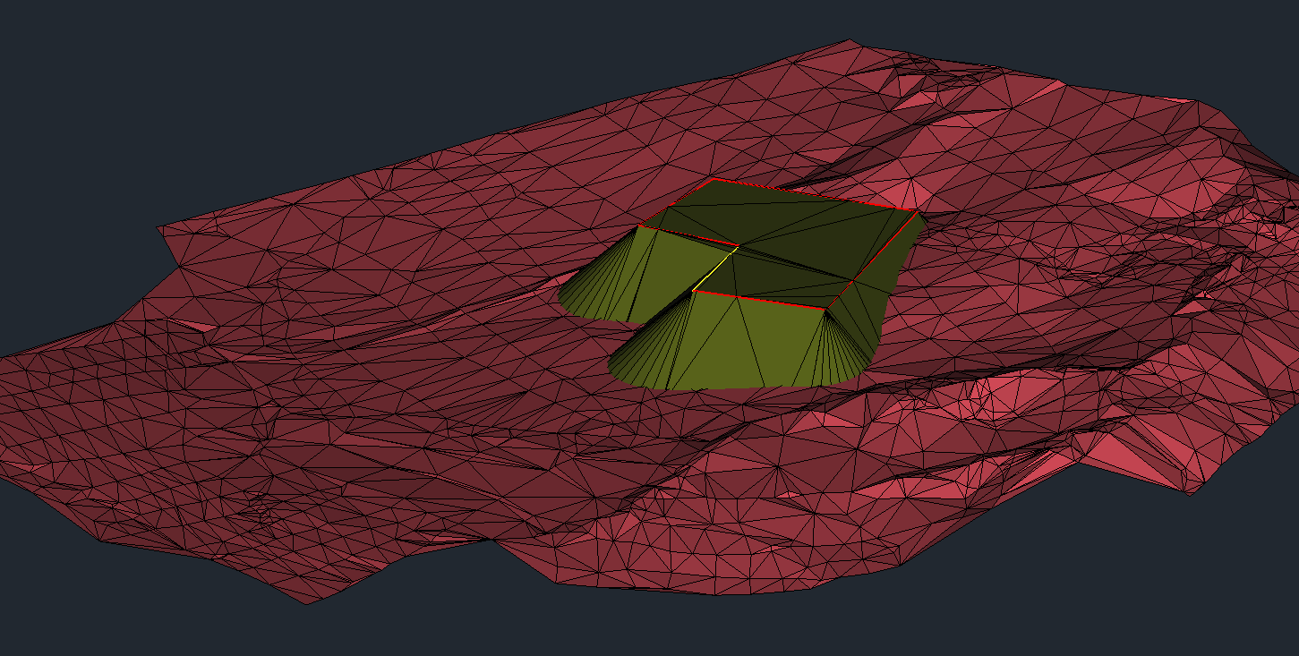
* Create Surface
* Edit Surface
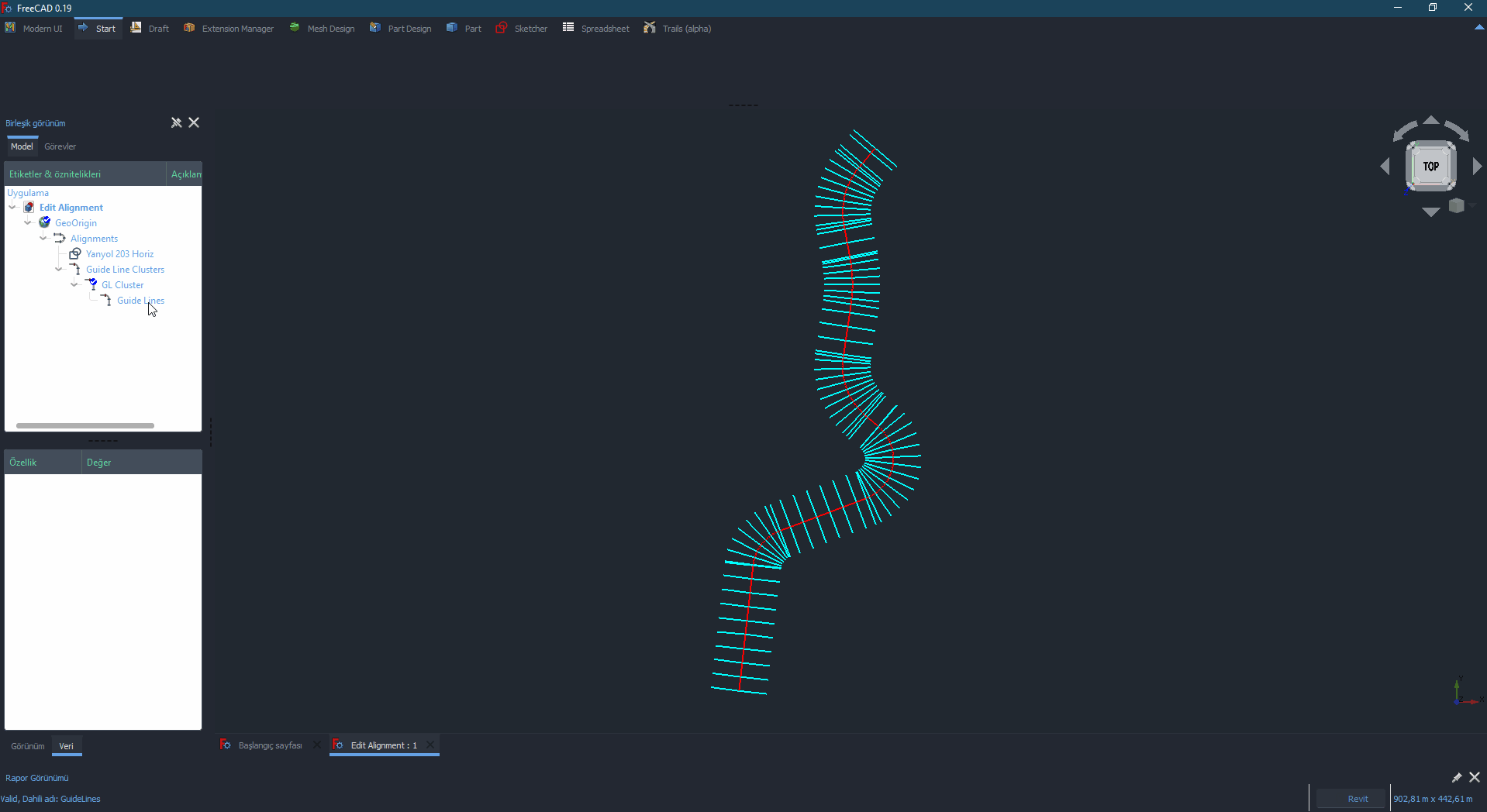
* Create Regions
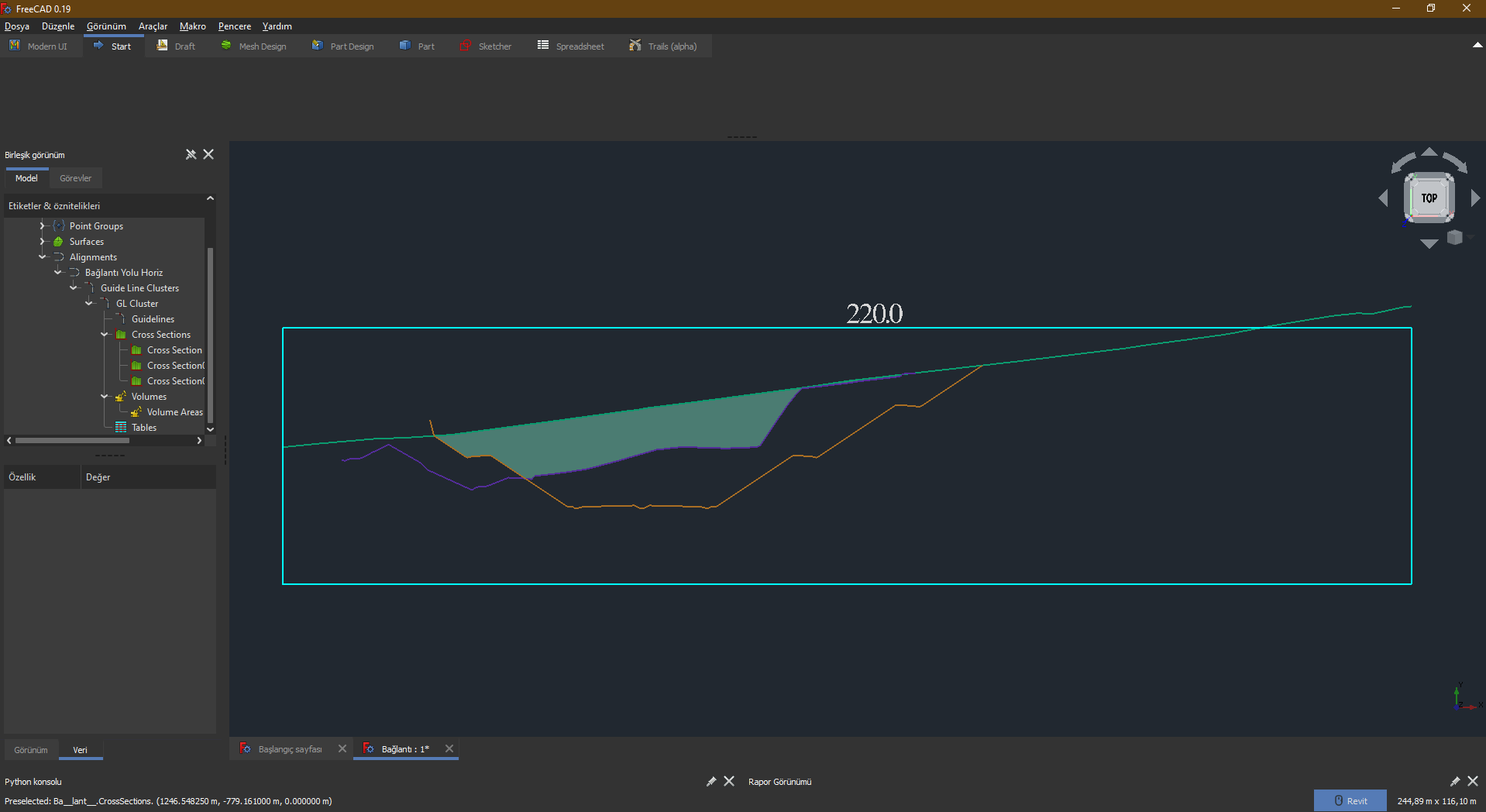
* Create Sections
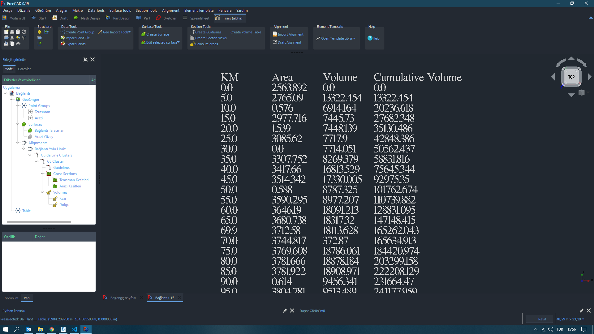
* Calculate Volume Areas
* Create Volume Tables
* Create Building Pads
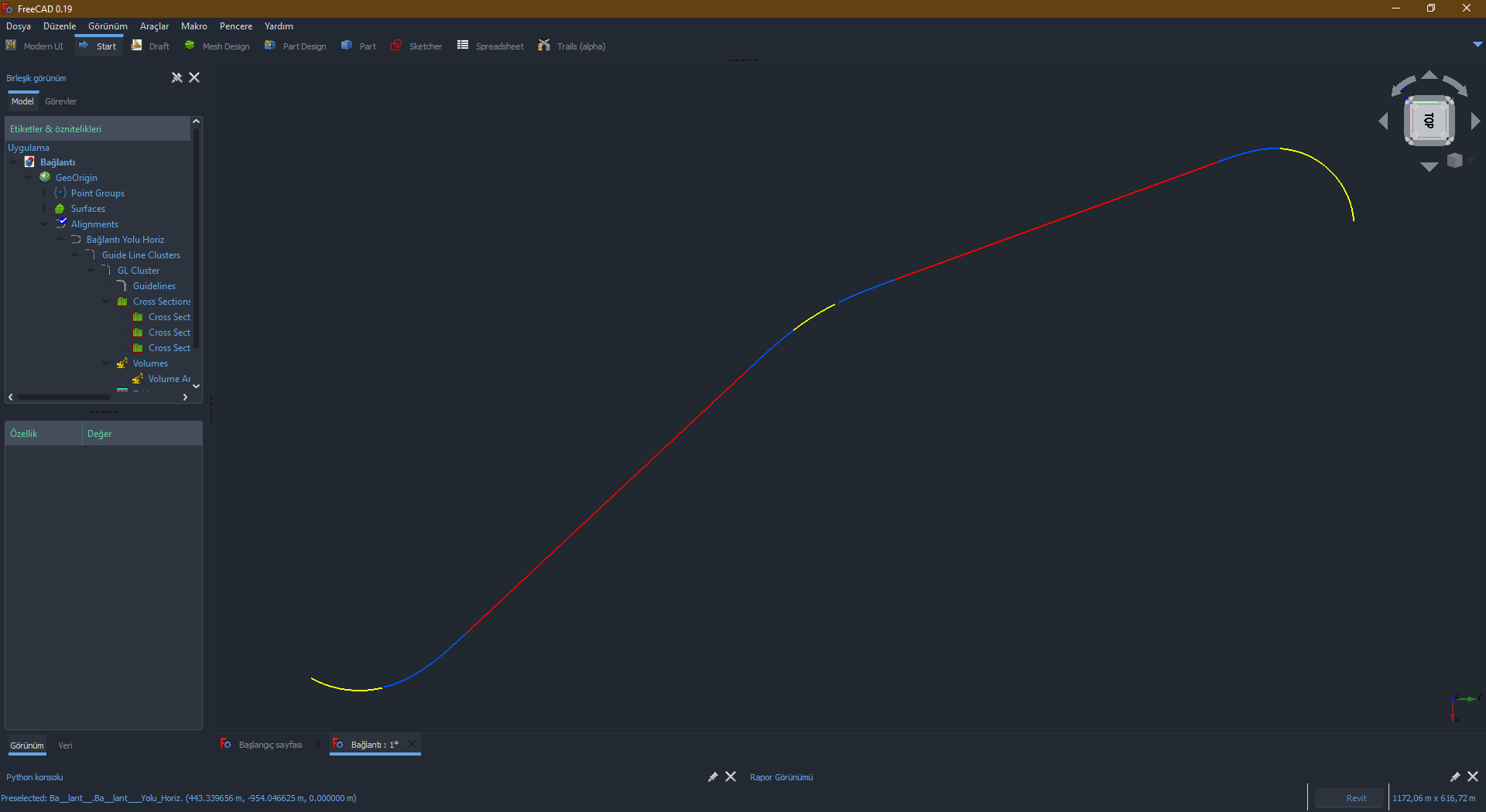
* Import Alignment LandXML files.
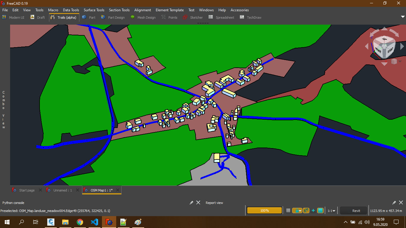
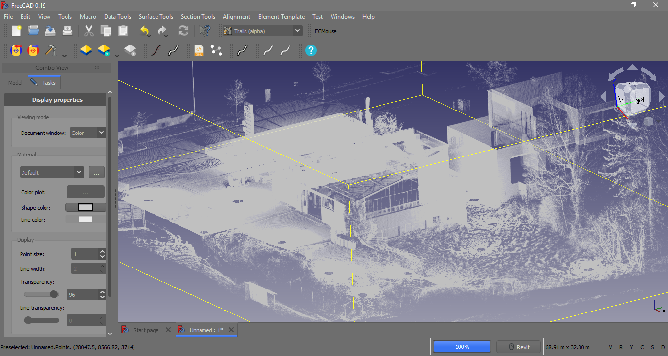
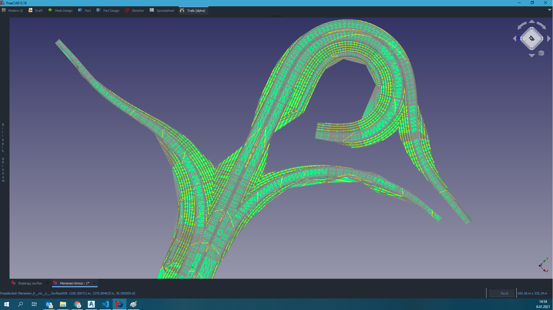
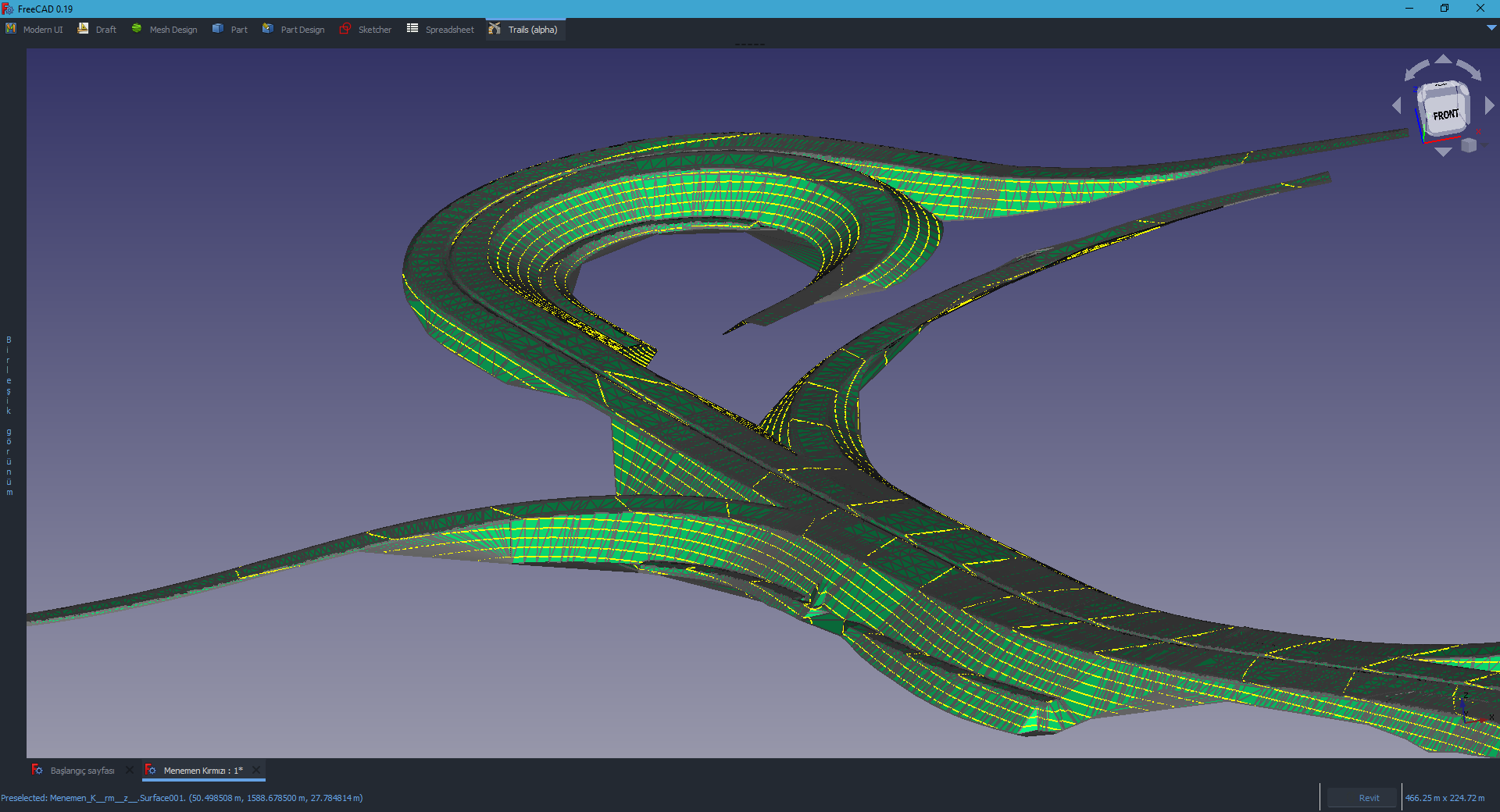
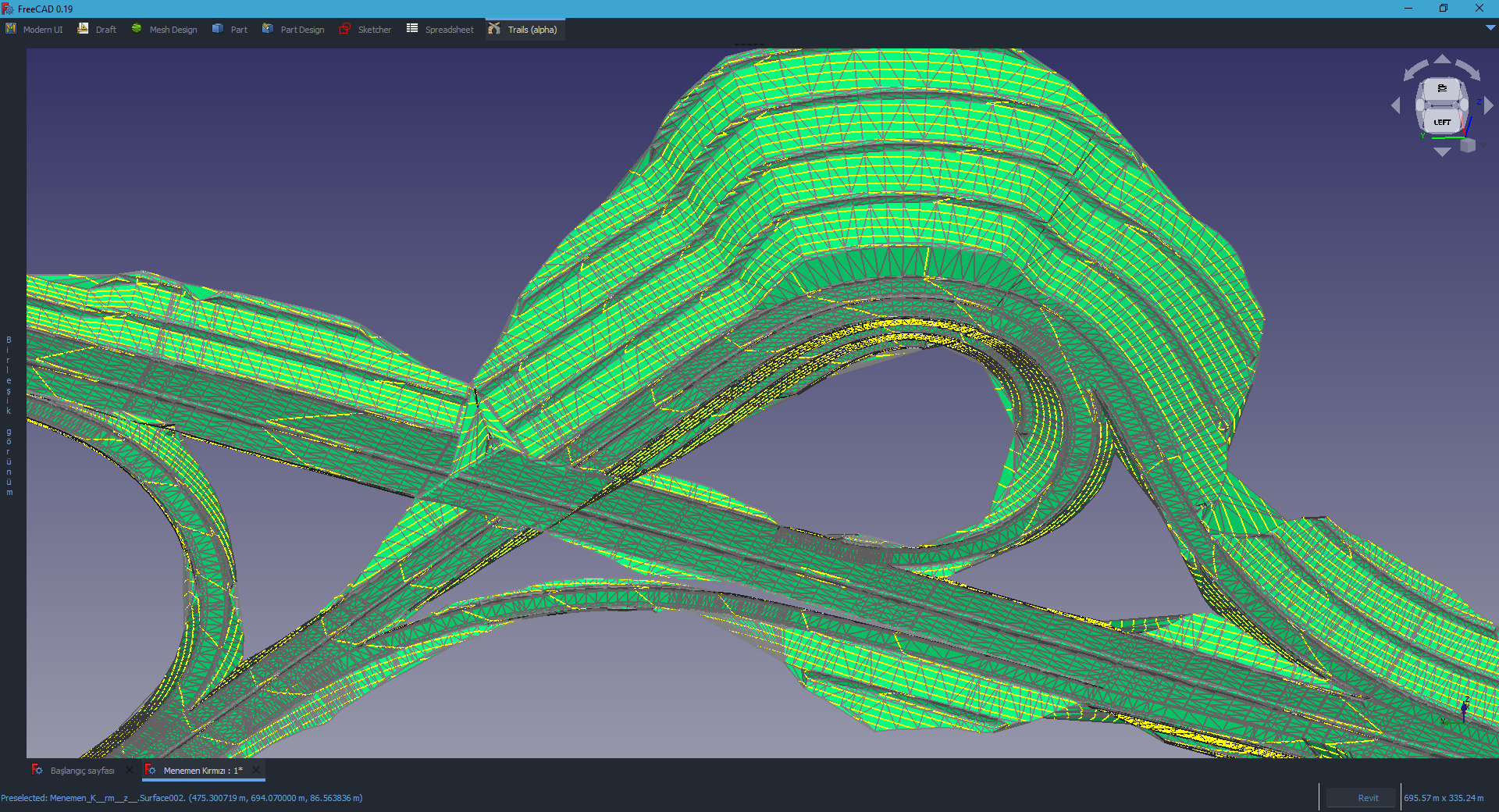
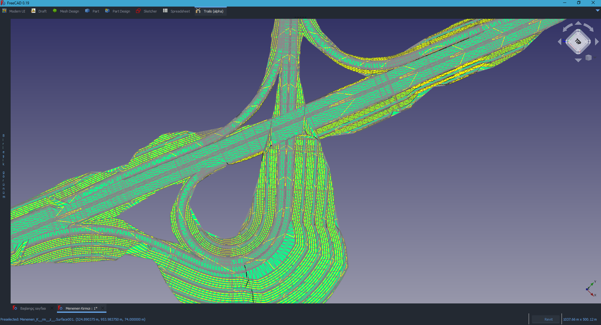
You can see what Trails can do from bellow pictures: